 Mijn Studiezaal (inloggen)
 224 foto's
sorteren op:
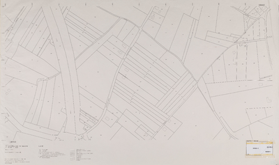
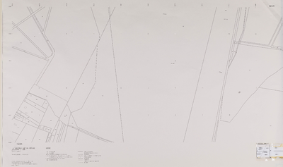
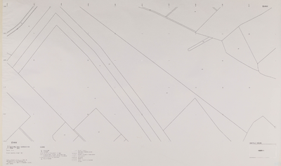
Serie I: Grootschalige kadastrale basiskaart Rhenen (x=168.0/169.0, y=442.0/442.5)
Info
Klik op de afbeelding voor meer informatie
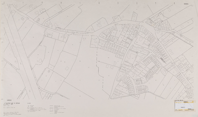
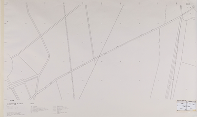
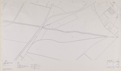
Serie I: Grootschalige kadastrale basiskaart Rhenen (x=168.0/169.0, y=442.5/443.0)
Info
Klik op de afbeelding voor meer informatie

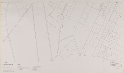
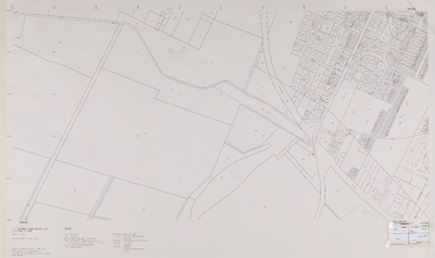
Serie I: Grootschalige kadastrale basiskaart Rhenen (x=169.0/170.0, y=442.5/443.0)
Info
Klik op de afbeelding voor meer informatie
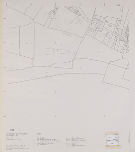
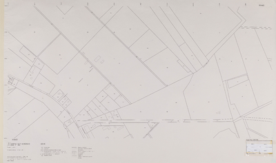
Serie II: Grootschalige kadastrale basiskaart Rhenen (x=162.0/164.0, y=443.0/444.0)
Info
Klik op de afbeelding voor meer informatie
Serie II: Grootschalige kadastrale basiskaart Rhenen (x=162.0/164.0, y=444.0/445.0)
Info
Klik op de afbeelding voor meer informatie
Serie II: Grootschalige kadastrale basiskaart Rhenen (x=162.0/164.0, y=445.0/446.0)
Info
Klik op de afbeelding voor meer informatie
Serie II: Grootschalige kadastrale basiskaart Rhenen (x=162.0/164.0, y=446.0/447.0)
Info
Klik op de afbeelding voor meer informatie
Serie II: Grootschalige kadastrale basiskaart Rhenen (x=162.0/164.0, y=447.0/448.0)
Info
Klik op de afbeelding voor meer informatie
Serie II: Grootschalige kadastrale basiskaart Rhenen (x=164.0/166.0, y=443.0/444.0)
Info
Klik op de afbeelding voor meer informatie
Serie II: Grootschalige kadastrale basiskaart Rhenen (x=164.0/166.0, y=445.0/446.0)
Info
Klik op de afbeelding voor meer informatie
Serie II: Grootschalige kadastrale basiskaart Rhenen (x=164.0/166.0, y=445.0/446.0)
Info
Klik op de afbeelding voor meer informatie
Serie II: Grootschalige kadastrale basiskaart Rhenen (x=164.0/166.0, y=446.0/447.0)
Info
Klik op de afbeelding voor meer informatie