 Mijn Studiezaal (inloggen)
 224 foto's
sorteren op:
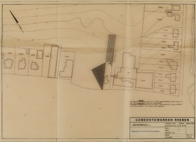
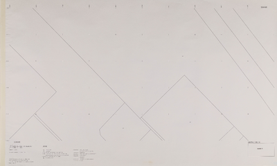
Kadastrale situatie sectie H in verband met grondruil met W. Groenen
Info
Klik op de afbeelding voor meer informatie
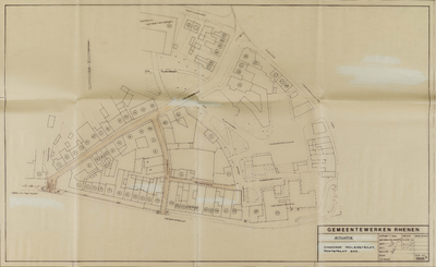
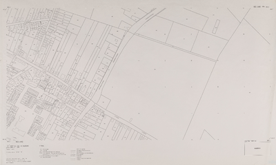
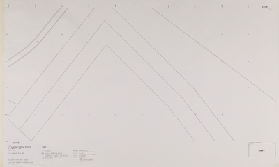
Percelering (met huisnummers) van het gebied tussen de Bantuinweg, de Nieuwe Veenendaalseweg en de Herenstraat
Info
Klik op de afbeelding voor meer informatie
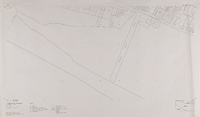
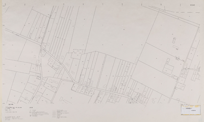
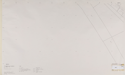
Serie I: Grootschalige kadastrale basiskaart Rhenen (x=162.0/163.0, y=435.0/444.0)
Info
Klik op de afbeelding voor meer informatie
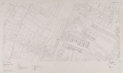
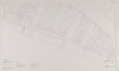
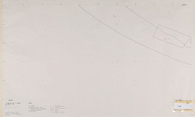
Serie I: Grootschalige kadastrale basiskaart Rhenen (x=162.0/163.0, y=444.0/444.5)
Info
Klik op de afbeelding voor meer informatie
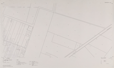
Serie I: Grootschalige kadastrale basiskaart Rhenen (x=162.0/163.0, y=444.5/445.0)
Info
Klik op de afbeelding voor meer informatie
Serie I: Grootschalige kadastrale basiskaart Rhenen (x=163.0/164.0, y=443.5/444.0)
Info
Klik op de afbeelding voor meer informatie
Serie I: Grootschalige kadastrale basiskaart Rhenen (x=163.0/164.0, y=444.0/444.5)
Info
Klik op de afbeelding voor meer informatie
Serie I: Grootschalige kadastrale basiskaart Rhenen (x=163.0/164.0, y=444.5/445.0)
Info
Klik op de afbeelding voor meer informatie
Serie I: Grootschalige kadastrale basiskaart Rhenen (x=164.0/165.0, y=444.0/444.5)
Info
Klik op de afbeelding voor meer informatie
Serie I: Grootschalige kadastrale basiskaart Rhenen (x=164.0/165.0, y=444.5/445.0)
Info
Klik op de afbeelding voor meer informatie
Serie I: Grootschalige kadastrale basiskaart Rhenen (x=165.0/166.0, y=441.5/442.0)
Info
Klik op de afbeelding voor meer informatie
Serie I: Grootschalige kadastrale basiskaart Rhenen (x=166.0/167.0, y=440.5/441.0)
Info
Klik op de afbeelding voor meer informatie